Search
Close this search box.

We are creating some awesome events for you. Kindly bear with us.

Bushfire mapping tech deployed to aid Australian army

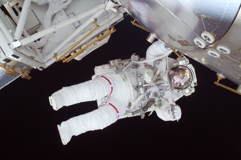
To assist the Australian army in the South Australian bushfires, a real-time aerial mapping has been deployed to support the Californian fire season.

According to a media report, the technology was tested at the Kangaroo Island fire front using a single-engine Piper aircraft flown 10,000 feet in the air.

It was developed by an Adelaide-based company and the images taken by the aircraft will help the army plan recovery and relief operations.

The founder and chief executive officer of the organisation noted that the pro bono work meant the company could successfully test its technology. It uses specialist thermal imaging cameras, high-precision GPS, and advanced data processing software.

Unlike several other similar tech, this system costs less than A$100,000 and can be put on planes that cost less than A$100,000, the officer added. This means that there can be multiple systems across the state.

The report explained that this system is cheaper than the traditional approach to fire mapping that involves a small number of high-value assets. Also, its systems are shipped from Australia and operated by local pilots in fire danger regions worldwide.

The technology was commercialised more recently after the company was part of the Venture Catalyst Space program at the University of South Australia’s Innovation and Collaboration Centre, the report said.

The programme is now opened for applications for its third intake from June to December and is looking to help international companies break into the space sector.

OpenGov reported on another aerial mapping technology being used to recover and reduce future fire risks. Airborne Research Australia (ARA), located in Adelaide, is creating free 3D high-resolution maps of the devastation caused by the bushfires.

press release claimed the maps would help communities, emergency services agencies. and researchers to plan recovery.

Low, slow flights by crewed motor gliders equipped with light detection and ranging (LIDAR), hyperspectral sensors, and high-resolution RGB cameras collect data for the maps.

LIDAR uses light from a laser to measure the distance of a target by illuminating it with a laser and measuring the reflected light with a sensor. Differences in laser return times and wavelengths can be used to make digital 3D maps of the target.

High-resolution RGB cameras complement data from LIDAR and hyperspectral sensors to produce images with 6-8 cm pixel size over large areas of land.

It then renders this mapping data in three dimensions and animates it as fly-throughs to simplify viewing.

The aim is to make all this data available to the public, particularly those directly affected, in order to help them recover their natural landscape.

The sensors can map in unprecedented detail landscape and forest features that are not visible with standard aerial photography or satellite data or from the ground.

The combination of LIDAR and hyperspectral sensors provides centimetre resolution detail, which allows for detection of the location of such habitats and the state and structure of the undergrowth with LIDAR as well as the state of health of the surviving vegetation with hyperspectral scanning.

PARTNER

Qlik’s vision is a data-literate world, where everyone can use data and analytics to improve decision-making and solve their most challenging problems. A private company, Qlik offers real-time data integration and analytics solutions, powered by Qlik Cloud, to close the gaps between data, insights and action. By transforming data into Active Intelligence, businesses can drive better decisions, improve revenue and profitability, and optimize customer relationships. Qlik serves more than 38,000 active customers in over 100 countries.

PARTNER

CTC Global Singapore, a premier end-to-end IT solutions provider, is a fully owned subsidiary of ITOCHU Techno-Solutions Corporation (CTC) and ITOCHU Corporation.

Since 1972, CTC has established itself as one of the country’s top IT solutions providers. With 50 years of experience, headed by an experienced management team and staffed by over 200 qualified IT professionals, we support organizations with integrated IT solutions expertise in Autonomous IT, Cyber Security, Digital Transformation, Enterprise Cloud Infrastructure, Workplace Modernization and Professional Services.

Well-known for our strengths in system integration and consultation, CTC Global proves to be the preferred IT outsourcing destination for organizations all over Singapore today.

PARTNER

Planview has one mission: to build the future of connected work. Our solutions enable organizations to connect the business from ideas to impact, empowering companies to accelerate the achievement of what matters most. Planview’s full spectrum of Portfolio Management and Work Management solutions creates an organizational focus on the strategic outcomes that matter and empowers teams to deliver their best work, no matter how they work. The comprehensive Planview platform and enterprise success model enables customers to deliver innovative, competitive products, services, and customer experiences. Headquartered in Austin, Texas, with locations around the world, Planview has more than 1,300 employees supporting 4,500 customers and 2.6 million users worldwide. For more information, visit www.planview.com.

SUPPORTING ORGANISATION

SIRIM is a premier industrial research and technology organisation in Malaysia, wholly-owned by the Minister​ of Finance Incorporated. With over forty years of experience and expertise, SIRIM is mandated as the machinery for research and technology development, and the national champion of quality. SIRIM has always played a major role in the development of the country’s private sector. By tapping into our expertise and knowledge base, we focus on developing new technologies and improvements in the manufacturing, technology and services sectors. We nurture Small Medium Enterprises (SME) growth with solutions for technology penetration and upgrading, making it an ideal technology partner for SMEs.

PARTNER

HashiCorp provides infrastructure automation software for multi-cloud environments, enabling enterprises to unlock a common cloud operating model to provision, secure, connect, and run any application on any infrastructure. HashiCorp tools allow organizations to deliver applications faster by helping enterprises transition from manual processes and ITIL practices to self-service automation and DevOps practices. 

PARTNER

IBM is a leading global hybrid cloud and AI, and business services provider. We help clients in more than 175 countries capitalize on insights from their data, streamline business processes, reduce costs and gain the competitive edge in their industries. Nearly 3,000 government and corporate entities in critical infrastructure areas such as financial services, telecommunications and healthcare rely on IBM’s hybrid cloud platform and Red Hat OpenShift to affect their digital transformations quickly, efficiently and securely. IBM’s breakthrough innovations in AI, quantum computing, industry-specific cloud solutions and business services deliver open and flexible options to our clients. All of this is backed by IBM’s legendary commitment to trust, transparency, responsibility, inclusivity and service.