UNSW Sydney engineers are developing a passive radar technology that provides real-time information about wild seas and unfavourable ocean conditions to make shipping safer and more efficient.
Additionally, this technology has piqued the interest of the Australian Defence Force because of its ability to ‘see’ through cloud and tree cover while maintaining radio silence.
As reported, Professor Andrew Dempster of the University’s School of Electrical Engineering and Telecommunications has been developing and trialling a new type of receiver that looks for satellite navigation signals bounced from the Earth’s surface in a process called reflectometry.
Bouncing back
Reflectometry looks at the GPS signals that come directly from satellites as well as where, and at what angle, the signals bounce off the earth’s surface.
Four generations of receivers were built and designed to look for these bounced GPS signals from satellites overhead.
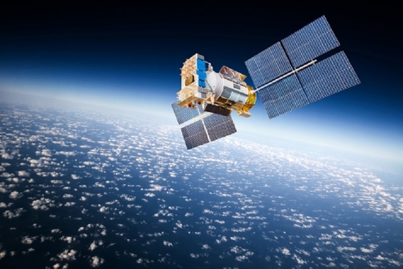
The most recent generation of these GPS receivers were put into space aboard CubeSats.
CubeSats are miniaturised satellites used in space research, which are a fraction of the cost to launch and maintain due to their tiny proportions.
A CubeSat fitted with “Namuru” or “Kea” – two of the receivers tested so far – is able to provide live analysis of the ocean conditions, or ‘sea state’, by recording bounced GPS signals from the surface of the sea.
How it works
The delay from the satellite to surface and back to the receiver on the satellite is measured.
Because of the multiple facets on ocean waves that it can reflect from, there is a wider response in that delay from the different angles where the signals are reflected.
The response they receive get wider as the seas get rougher. The Doppler frequency shift in those reflected signals are also measured.
This information recorded by the receiver can provide wave heights, direction of the waves, wavelength or the distance between waves, wind speed, and wind direction.
Who can benefit
This data has a lot of interesting applications. It would be of big interest to maritime companies, oceanographers, and people working with wave power generation.
For instance, gas companies often refuel their big tankers out at sea, which means safety can be compromised by weather conditions.
Defence angle
The device can also pick up ships in the area because the GPS signal bounces off a vessel in a different way.
Infrastructure that used to stay hidden, even in satellite images, can now be detected by this device.
This was proven when they flew over a forest one time and was able to pick out a power pylon, which would otherwise be hidden from view.
More importantly, the receiver operates in radio silence, which means its position is not given away.
Other uses
The receiver could also be put to good use by integrating it with a remotely piloted aerial system (RPAS), which could be potentially used to map floods.
It could also be used with the high altitude persistent systems (HAPS),which fly autonomously at twice the altitude of regular aircraft and are solar-powered.
It could be useful in determining the extent of floods or bushfires as it can see through cloud cover and smoke.
The new instrument uses two Keas. The one looking up gives position like a normal receiver while the one looking down looks at the reflected signals.
Currently, they are looking at keeping the two receiver architecture for the instrument.
However, they would like to develop a single board solution that does all the Global Navigation Satellite System (GNSS) work and incorporate the control computer, data storage and communication functions.