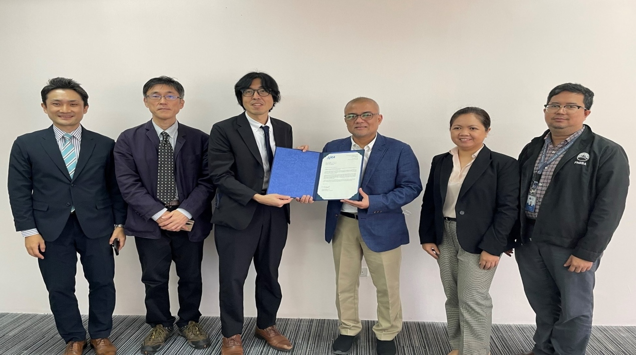
The Philippine Space Agency (PhilSA) was accepted as a Sentinel Asia Data Provider Node (DPN) member earlier this year. Sentinel Asia is a worldwide programme of the Asia-Pacific Regional Space Agency Forum (APRSAF) that uses space technology and Web-GIS to support disaster risk reduction and management (DRRM) initiatives in the Asia-Pacific area.
It attempts to improve disaster preparedness and recovery by combining Earth observation technologies with near-real-time internet dissemination methods to increase safety and reduce the number of victims and social/economic losses caused by disasters.
As a DPN member, PhilSA will supply Sentinel Asia members with pre-, during, and post-disaster satellite imagery and data from the Diwata-2 and NovaSAR-1 satellites upon their observation request during disasters. Sentinel Asia will subsequently make these data available through open APIs and open data formats.
Climate change is one of the region’s most significant challenges for Asia-Pacific countries. The Philippines has been identified as having the highest disaster risk among 193 countries in terms of extreme natural occurrences and climate change in the 2022 Global Risk Index.
As the central government agency addressing all national issues and activities related to space science and technology applications (SSTA), PhilSA recognises the need for regional cooperation and collaboration to contribute solutions to climate change challenges, as well as to further the development, application, and utilisation of space science and technology for the benefit of Filipinos and the world.
Sentinel Asia membership benefits PhilSA’s Key Development Area on Hazard Management and Climate Studies, which aims to improve the country’s hazard management, disaster mitigation, and resistance to climate change. It is also Sentinel Asia’s first DPN member from the Philippines.
PhilSA, which was founded in 2019, is the central government institution in charge of all national concerns and actions concerning space research and technology applications. PhilSA is scheduled to deliver Earth observation satellite photos from two satellites, DIWATA-2 and NovaSAR-1, as a Data Provider Node.
DIWATA-2, an Earth observation microsatellite, was built in collaboration with Tohoku University and Hokkaido University in Japan by researchers from the University of the Philippines Diliman (UPD) and the Advanced Science and Technology Institute of the Department of Science and Technology (DOST-ASTI) and launched from the Tanegashima Space Centre in October 2018.
The NovaSAR-1 satellite is a Synthetic Aperture Radar (SAR). Additional mission partners include the United Kingdom Space Agency (UKSA), Australia’s Commonwealth Scientific and Industrial Research Organisation (CSIRO), and the Indian Space Research Organisation (ISRO).
Sentinel Asia now has ten members in the Philippines, including Data Analysis Nodes and Disaster Management Organisations. As Sentinel Asia’s executive secretariat, JAXA will continue to engage with Sentinel Asia members to strengthen and revitalise community interaction and to establish Sentinel Asia as a tool for disaster management in affected nations.
Meanwhile, OpenGov Asia earlier reported that Philippines President Ferdinand R. Marcos Jr. stated that all government offices should use satellite mapping data to improve their services and operations. He told the Philippine Space Council (PSC) to get the most out of the country’s partnerships with international mapping and imagery agencies.
As head of the PSC, President Marcos Jr. has stressed that giving government agencies access to satellite data could help agriculture, business, and the environment. He also thinks that mapping data could help potential investors, like carbon producers, keep their activities in balance by giving them the information they need to develop a specific biodiverse area in a certain place.