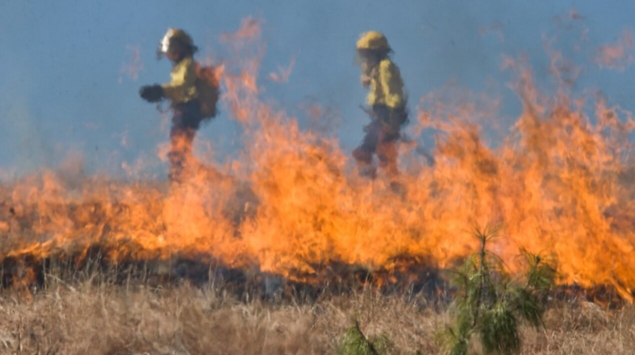
A tool utilises GPS data and qualitative data to track people’s movements in the days leading up to and during a wildfire. The data can then be used to help emergency evacuation managers better prepare their response and resource allocation for future events.
The tool was developed by an international multidisciplinary team, led by the University of Florida and the University of Canterbury. According to Professor Daniel Nilsson from the University of Canterbury, to effectively plan for future events, it is important to understand how people behave. For instance, when they decide to evacuate and which evacuation routes they choose. By using GPS data from both the time before and during the fire, researchers can learn people started their evacuation, what evacuation routes they chose, and where they evacuated to. It is also possible to understand how many ignored official evacuation warnings and orders and remained in their homes.
Currently, the research tool is being used post-event to study wildfire evacuation behaviour, however, the team is working on a real-time evacuation prediction model that could be used by emergency services and civil defence during a wildfire.
The idea is that real-time GPS data, along with other inputs such as weather and socio-demographic factors from census data, like education and household income, can be used to predict the evacuation process. This can then inform emergency services and civil defence during an event to know what areas to prioritise and where evacuation is slow, to get everyone out in time. There is also potential to utilise this tool in other emergency evacuation applications, such as tsunami events.
As per a press statement, the research was initially based on the collection of data from surveys following wildfire incidents, such as the 2019 Pigeon Valley Fire in Nelson, with the research funded by Fire and Emergency New Zealand. While the surveys collected valuable data, Nilsson noted that there were biases in the responses. “People do not always remember things accurately, especially a long time after the fire, or even just after the fire if they are emotionally distressed. In addition, research suggests that memories of traumatic events shift and change over time, as they come to grips with what has happened. Also, people may not want to admit to behaviour in a questionnaire study that may contradict official advice, such as when to evacuate,” he said.
The use of GPS data was then piloted to study the 2019 Kincade Fire in Sonoma County, USA. The study is funded by the National Institute of Standards and Technology (NIST). The event was chosen due to the scope and scale of the fire, population density, and proximity to cell towers, with GPS data enabling an accurate representation of the evacuation of occupants from the fire-affected areas.
The study in the US was useful as it involved thousands of people in a very populated area, providing a more nuanced and greater granularity of data, Nilsson explained. When a mobile app is used, such as a navigation app or a game, the user’s location is typically shared with the app developer. This data can then be purchased from GPS data providers by researchers, with the data anonymised and coded to ensure confidentiality. This enables the tracking of devices such as smartphones over a period of time, and the resolution means that researchers can pinpoint relatively accurately to block level where people live.