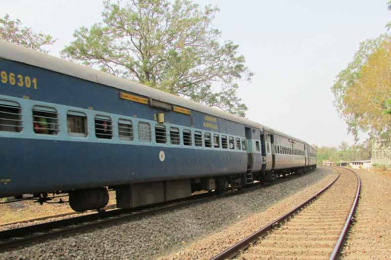
The Indian Railways announced plans
to deploy cameras on drones or unmanned aerial vehicles (UAVs) for a range of
activities, including monitoring and maintenance of tracks and other railway
infrastructure. Drone cameras will also be deployed to undertake monitoring the
progress of projects and important works, as well as relief and rescue
operations. They will also be used to
assess preparedness of Non-Interlocking
(NI) works, for crowd management during public event such as fairs, to
identify scrap and also for aerial survey of station yards.
Drones are also expected to play an instrumental role in
providing real time inputs related to safety and maintenance of tracks and
other railway infrastructure.
This initiative is in-line with the Railways’ desire to use
technology to enhance safety and efficiency in train operations.
The Zonal
Railways have been given directions to procure such cameras. West Central
Railways (WCR) with its headquarters at Jabalpur in the state of Madhya Pradesh
has become the first Zonal Railway to procure drone cameras. WCR recently conducted
a trial-run of those cameras and it has further plans to use drones for project
monitoring, important bridge inspections and monsoon preparedness in sections
of railway passing through mountainous regions.
Earlier, demonstration of “Drone” camera was
done for project monitoring of Railway Electrification work of Jabalpur Yard.
Real-Time Train
Information System
On January 3, the Government announced that the Ministry of would
implement Real-Time Train Information System (RTIS) on trains in collaboration
with the Indian Space Research Organisation (ISRO). This involves tracking of
trains by placing GPS / GAGAN (GPS or Global Positioning System Aided Geo
Augmented Navigation System) based devices on locomotives.
In Phase-I planned to be completed by December 2018, the
RTIS project the GPS device will be installed in around 2700 electric
locomotives. The remaining locomotives will be covered in subsequent phases.
The trials for the RTIS system have been done on New Delhi –
Guwahati and New Delhi – Mumbai Rajdhani trains on six electric locomotives. A
reliable and high level (about 99.3%) of real time reporting of arrival
departure timing updates has been observed, which is considered adequate to meet
the RTIS requirements.
The development of the RTIS is part of a Memorandum
of Understanding signed
between Indian Railways and ISRO in March 2016 for developing applications in
the field of Remote Sensing and Geographic Information System. The objectives
of the MOU included: 1) Development of an advance warning system at Unmanned
Railway Crossings for road users; 2) Mapping of Indian Railway assets through
Geospatial technology; 3) Development of paperless unreserved ticketing
solution based on geo-fencing of station area; 4) Developing RTIS by using
Communication Satellite Services; 5) Setting up of “BHUVAN” (ISRO’s GIS tool)
node in Indian Railways to internalize the use of BHUVAN geospatial solutions
by Railways; 6) Meet Indian Railways satellite based communication
requirements.
During 2017, the Railways introduced GPS-based Fog Pass devices which display
the name and distance of approaching signals and other critical signal
landmarks in advance during train operation. By the end of the year
a total of 7263 Fog Pass devices had
been procured and were being used in the most fog affected Railways.