The Department of Science and Technology (DOST), through the Philippine Council for Industry, Energy, and Emerging Technology Research and Development (PCIEERD), is working with the University of the Philippines-Training Centre for Applied Geodesy and Photogrammetry (UP-TCAGP) to find ways to mitigate the harmful effects of the rising temperatures in urban areas.
Utilising satellites and modelling-simulation techniques
They are assessing the development of urban heat islands in rapidly urbanising and highly urbanised cities in the Philippines using satellites and modelling-simulation techniques.
According to a recent press release, Project GUHeat, or the Geospatial Assessment and Modelling of Urban Heat Islands in Philippine Cities, will harness the power of thermal images from satellites to help the government in minimising the warming of urban areas or urban heat islands (UHIs).
Additionally, it may even be reversed to decrease electricity consumption and air pollution, reduce health risks and diseases, which will result to greater liveability of the cities.
The project will develop geographic information system-based methods and tools to map, model, and characterize UHIs, which can be used easily by local government units (LGUs) by accessing a web-based GIS.
The land surface temperature (LST) of the several localities are being studied and evaluated by using satellite imageries in order to assess the effect of urban heat islands.
To date, these areas are:
- Quezon City
- Baguio City
- Cebu and Mandaue City
- Iloilo City
- Zamboanga City
- Davao City
Empowering the local government units
Furthermore, the project aims to build and enhance the capacity of LGUs in incorporating thermal environment conditions in planning and development.
This will be used towards the attainment of the UN Sustainable Development Goals (SDG), particularly SDG 11: Make cities inclusive, safe, resilient and sustainable.
The LGUs are very enthusiastic and supportive, and shall utilise the project outputs in revising plans and implementing measures to reduce urban heat islands (UHIs).
Improving city temperatures
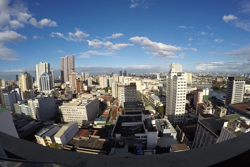
As compared to nearby rural areas, a city experiences an urban heat island effect when it has warmer temperatures.
The materials used in the construction of buildings and establishments as well as the lack of trees and vegetation affect the distribution and persistence of heat in a city.
Warmer temperatures produce several effects. These are:
- Increase energy consumption and the emissions of air pollutants and greenhouse gases
- Impair water quality
- Compromise human health and comfort
DOST-PCIEERD Deputy Executive Director and Officer-in-Charge Engr. Raul C. Sabularse expressed hope that the project will contribute positively towards climate change adaptation.
He added that it is imperative for local government units to plan and to strategize using the GIS-based maps and models for the thermal comfort of the Filipinos.
The Department of Science and Technology will continue to support the project and eventually launch more space technology applications (STA).
The Project Leader shared that they intend to use unmanned aerial systems (UAS), which have thermal cameras, to thoroughly map and determine the changes of land surface temperature (LST) over time.
His team will also laser-scan the cities involved in the project in order to produce 3D models for simulation.
Through simulation, they will be able to explore possible scenarios and be ready with urban heat-mitigating measures.