|
Getting your Trinity Audio player ready...
|
A collaboration between the Postgraduate School of Geological Engineering at Bandung Institute of Technology (ITB), the Geological Engineering Student Association “GEA” (HMTG “GEA”), and the Indonesian Association of Geologists (IAGI) recently showcased the advancements in sensing technology at a seminar entitled “Remote Sensing Technology for Exploration, Inventory, and Management of Natural Resources in Indonesia”.
Led by Professor Dr Ir. Indroyono Soesilo, M.Sc., the seminar highlighted remote sensing’s pivotal role in a data-driven and tech-enabled world. It has become an indispensable tool in the scientific field, providing researchers and practitioners with valuable data and previously unattainable insights.
As humanity transitions into the “imagination society” of era 5.0, remote sensing emerges as a crucial tool in providing information and knowledge to address contemporary and future challenges, underlining its significance in digital transformation and problem-solving endeavours. Its continued development and integration into various industries promise to revolutionise further how humans interact with and understand the world.
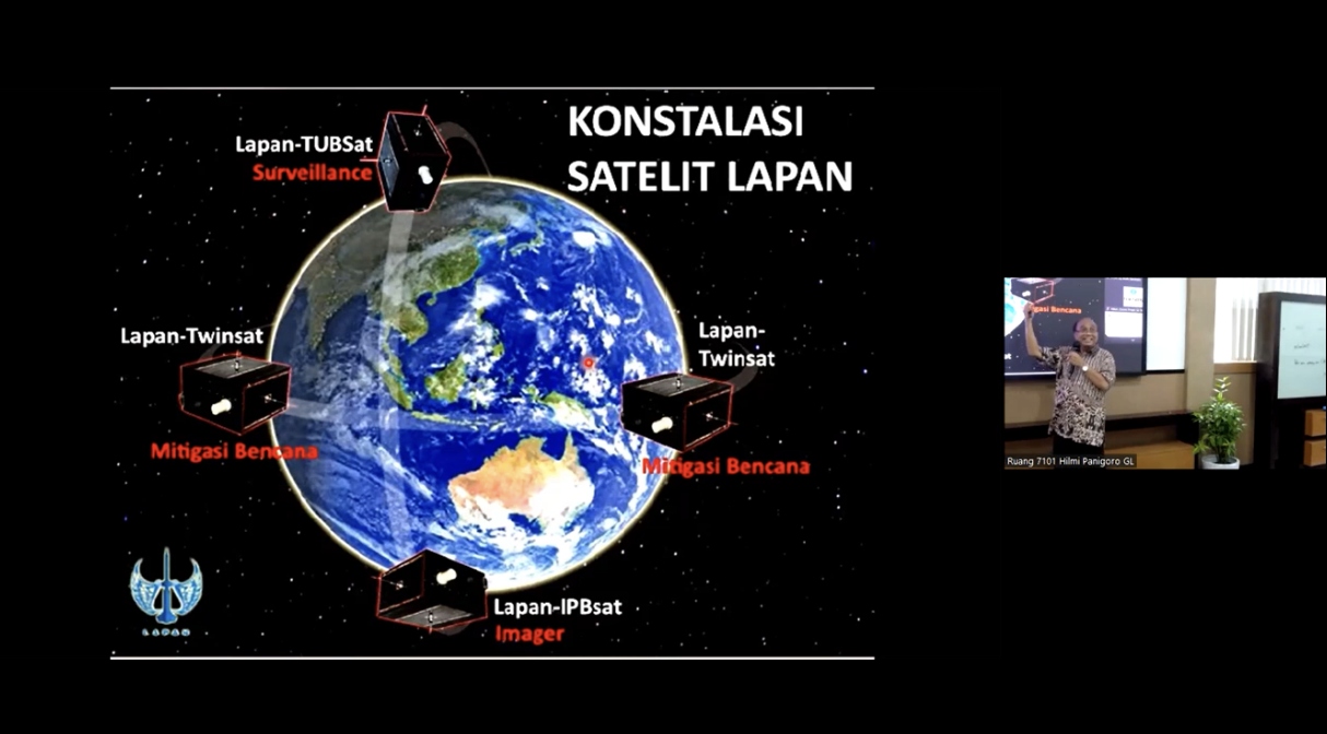
According to Prof Indroyono, remote sensing is observing an object without direct contact using specialised sensors mounted on various platforms such as drones, aircraft, satellites, etc. Multiple sensors used for remote sensing operate at different wavelengths, ranging from visible light, infrared, and radar to seismic waves, providing flexibility in obtaining data needed for geology.
Since its inception in 1960 with NASA’s TIROS-1 project, remote sensing technology has undergone significant evolution, transitioning into a service-oriented industry in Indonesia by 1993. This transformation has been propelled by government support and infrastructure development efforts. The trajectory of remote sensing underscores its vital role in facilitating Indonesia’s exploration, inventorying, and management of natural resources.
The evolution of remote sensing technology is evident from the launch of the first satellite platform in 1960 to the subsequent deployment of Landsat-1, an earth monitoring satellite, 12 years later. Prof. Indroyono and other professionals have played a pivotal role in Indonesia’s remote sensing advancement, leveraging their international educational backgrounds. Initially, their focus was on fostering Indonesia’s remote sensing service sector, encompassing data providers, information service providers, knowledge service providers, and initiatives for market expansion.
Currently, many high-resolution satellites are used for commercial purposes. The images of the earth produced by these satellites are also real-time and directly collected in the extensive data system for inventory, monitoring, analysis, and prediction purposes.
In a previous article, OpenGovAsia reported that Indonesia was deploying remote sensing to estimate oil palm productivity using satellite imagery from Sentinel-2. The National Research and Innovation Agency (BRIN) established a collaborative remote sensing research project with Lamandau Polytechnic from Lamandau Regency, Central Kalimantan.
Through remote sensing data, this research collaboration aims to establish a comprehensive understanding and accurate prediction of oil palm productivity in Bulik District, Lamandau Regency. Furthermore, remote sensing has also been used for conservation, explicitly focusing on monitoring water quality and addressing marine waste. Plastic and other waste materials discharged into the oceans pose severe global challenges.
Prof. Indroyono stresses the necessity of strengthening regulations to ensure the ethical use of remote sensing technology, despite its industry’s current robustness in adhering to rules. He advocates for continuous research and development efforts to maintain competitiveness, stressing the importance of exploring new sensor technologies and refining data processing techniques. Additionally, he underscores the pivotal role of collaboration between government, industry, and academia in driving innovation and addressing challenges in remote sensing technology and applications.
While significant progress has been made, Prof. Indroyono believes there is still untapped potential in the remote sensing industry. By bolstering regulatory frameworks, investing in R&D, and fostering collaboration among stakeholders, the industry can continue its growth trajectory and realise its full potential in the years ahead.