The Ministry of Agriculture and Farmers Welfare (MoA&FW) held a workshop in New Delhi in collaboration with the states to discuss the Digital Crop Survey. User manuals for both the web portal and mobile application for Digital Crop Survey were unveiled.
A demonstration of the web application and mobile app was conducted by officials from the National Informatics Centre (NIC). The purpose of the demo was to provide a comprehensive understanding of the functionalities and features of the Digital Crop Survey tools to the nodal officers and technical teams from the states. The session included discussions on the configuration and customisation aspects of the Digital Crop Survey Application, allowing the states to tailor the application according to their specific requirements.
Furthermore, to formally initiate the Digital Crop Survey in the states, memorandums of understanding (MoUs) between the state governments of Assam, Gujarat, Madhya Pradesh, Odisha, Rajasthan, Uttar Pradesh and the government of India. These MoUs served as agreements that outlined the collaboration and commitment of both the state governments and the central government in implementing the Digital Crop Survey effectively.
During the event, Pramod Kumar Meherda, Additional Secretary, stated that digital public infrastructure for agriculture is built as an open-source, open-standard, and interoperable public good. This approach aims to facilitate inclusive and farmer-centric solutions by providing valuable information services for crop planning and health, enhanced access to agricultural inputs, credit, and insurance, assistance with crop estimation, market intelligence, and support for the growth of the Agri Tech industry and start-ups.
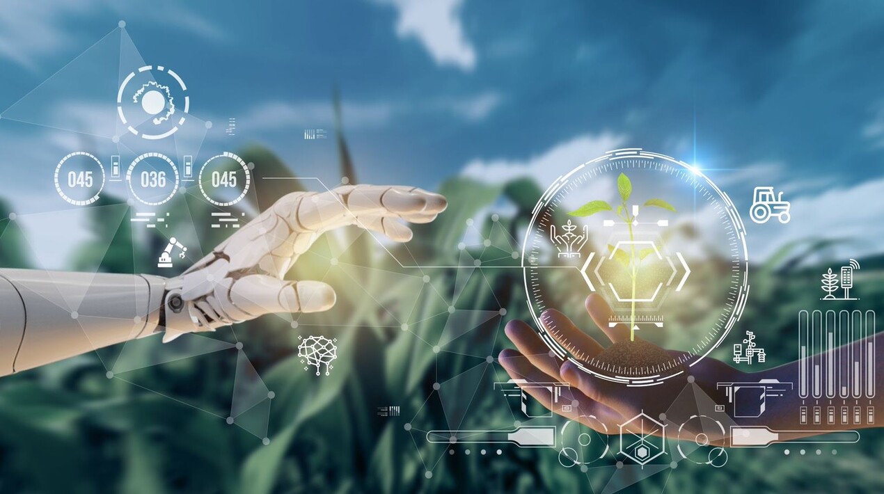
Meherda explained that the Digital Crop Survey initiative seeks to provide an accurate assessment of the crops being cultivated across all farmlands in the country during various agricultural seasons. The primary objective of the project is to establish a reliable and verified source of information concerning farmers and their crop-sown data. To effectively address the mentioned challenges, there is a need for a robust, efficient, transparent, and digitally-driven crop survey system. It must incorporate the latest technological advancements, such as visual and advanced analytics, GIS-GPS technologies, and AI/ML (artificial intelligence/machine learning).
Furthermore, Ajay Tirkey, Secretary of the Department of Land Resources (DoLR), conducted an informative session regarding the significance of Geo-referenced plots and their implementation. He highlighted that Geo-referenced plots play a crucial role in realising the broader federated vision of AgriStack.
AgriStack is the digital foundation being set up by the government to make it easier to bring various stakeholders together to improve agriculture in India and enable better outcomes and results for the farmers by using data and digital services. It is an effort to bring together high-quality data and to make this data easily available to the stakeholders that need it so that they can create new services using the data. AgriStack is a federated structure and ownership of data is with the states only. Access to the federated farmers’ database is with the government only. No private company is involved in developing the federated farmers’ database.
Manoj Ahuja, Secretary of the Department of Agriculture and Farmers Welfare (DA&FW), presented an overview of how the digital public infrastructure, including AgriStack and Krishi Decision Support System (Krishi-DSS), aims to address the challenges encountered in the agriculture sector. He underscored the desired outcomes and expectations from the states, as well as the support that the central government would provide to ensure the effective and successful implementation of the Digital Crop Survey. Krishi-DSS leverages geospatial technologies and relevant databases and plays a crucial role in enhancing evidence-based decision-making for all stakeholders in the agriculture sector.
