|
Getting your Trinity Audio player ready...
|
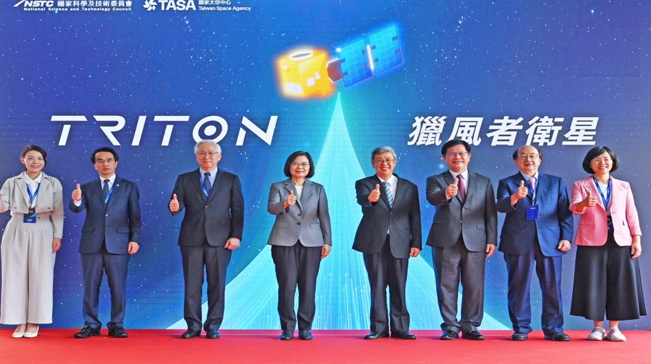
The Taiwan Space Agency transferred the first Taiwan-made weather satellite tagged as Triton to French Guiana for its departure ceremony wherein President Tsai Ing-wen and Premier Chen Chien-Jen, as well as the Chairman of the National Science Council Wu Tsung-tsong, were present to witness the significant accomplishment.
President Tsai emphasised that every stage of the satellite’s creation, from conception to design and production, took place in Taiwan. Over 20 domestic research organisations and manufacturers took involved, and more than 80% of the critical components were created and produced in Taiwan.
The “Wind Hunter” satellite will measure the speed of the sea surface wind. The initial data produced will represent a significant advance in the early storm prediction and global weather forecasting fields.
Tsai claims that the government has consistently invested in the growth of the space industry in recent years, including a planned NT$25.1 billion (812 million SGD) investment over a ten-year period.
Tsai continued, “The satellite has finally entered the critical stage of launch after nearly 10 years of painstaking efforts and countless tests and proves that Taiwan is unquestionably capable of entering the global space industry.” She also congratulated everyone who contributed to its creation for persevering in the face of several obstacles.
Triton, a weather satellite manufactured in Taiwan, relies heavily on digital technology. A multitude of digital sensors on the satellite gather information about the weather.
Images of the Earth’s surface and atmosphere are captured by visible-light and infrared cameras, which can be used to monitor the movement of clouds, storms, and other weather phenomena. The images from these cameras are improved and made simpler to understand using digital image processing techniques.
The amount of microwave radiation emitted by the Earth’s surface and atmosphere is measured using a microwave radiometer, a sensor that may be used to calculate the temperature and moisture content of the atmosphere. It makes highly accurate measurements of microwave radiation using digital signal processing techniques.
For precise weather forecasting, a satellite must be able to detect its own position in orbit using a global positioning system (GPS) receiver. Digital algorithms are used by the GPS receiver to determine the satellite’s precise location.
These sensors then broadcast the data they’ve gathered to Earth, where computers interpret it and use it to produce weather maps and forecasts. The pointing and orbit of the satellite are also managed using digital technology. Digital software is used by the satellite’s computers to manage operational tasks and process sensor data.
Triton is a far more robust and adaptable weather satellite than other satellite generations thanks to the usage of digital technologies. As a result, Taiwan will be able to forecast the weather more accurately and better prepare for natural disasters.
Further, the monitoring long-term climatic changes requires the use of weather satellites. Scientists can monitor trends and spot patterns related to climate change by gathering data on temperature, sea level, ice cover, and other climate factors. Understanding and tackling the problems associated with the global climate depend on this information.
Also, the abundance of atmospheric and environmental data provided by weather satellites aids in scientific research while large geographic areas, including difficult and isolated places where ground-based weather stations may not be viable or available, can be covered by weather satellites.
International partnerships that include the sharing of data between nations frequently include weather satellites. This collaboration promotes group initiatives to address climate and weather-related problems and enables a more thorough understanding of global weather patterns.