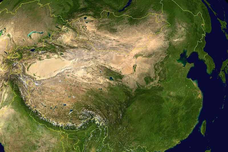
The People’s Daily reported that China has completed its first national geo-information survey. Information collected includes distribution of the country's natural resources and manmade construction, such as roads and neighborhoods.
The survey was started in January 2013. Over a period of three years, remote sensing satellites, drones and 3D laser scanning in combination with the help of more than 50,000 people, 770 Terabytes of data was collected, covering 92% of the country.
The results underwent months of analysis and approvals prior to publication. Through aerial photography and on-site verification by trained and certified personnel, the precision of the information and quality of the survey was enhanced. The accuracy is supposed to 99.7%, with resolution of 1 metre.
Li Weisen, deputy director of the National Administration of Survey, Mapping and Geoinformation (NASG) said that the information will immediately serve China's economic and social development.
The data is expected to support streamlining regulations, precision targeting of poverty alleviation measures, real estate registration, and controlling illegal construction, tracking pollution and more.
For instance, in Beijing and neighboring Tianjin and Hebei, surveyors focused on monitoring the sources of air pollution and the expansion of urban areas in addition to other information.
"The specific numbers help local authorities make more precise decisions to solve the problems," said Cheng Pengfei, president of the Chinese Academy of Surveying and Mapping.
The results of the survey will be made available to public departments, to enable them to improve services.