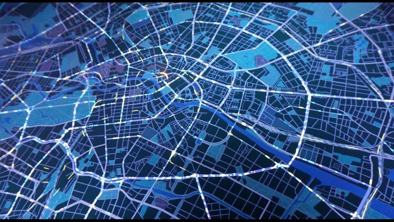
Geographic information systems, or more commonly known as GIS, is a technology that combines location with real-time or static data.
This technology collects, manages, analyses, and shares data to achieve location intelligence. Rooted in the science of geography, GIS integrates many types of data.
It can use large data sets from different sources and represent them as meaningful real-time apps, dashboards and analytical tools.
Immediate visualisations can be produced, which give critical insights into fast-moving situations. By using this technology many situations or problems can be handled more efficiently by how it reduces the complexity of the situation. It’s purpose is to enable smarter decision making.
Governments and Public Health Agencies using GIS to Solve COVID-19 issues
Today GIS technology is being extensively used in the fight against Covid-19. Governments, public health agencies and other organisations are using this technology in their defence against the pandemic.
On the global scale, it is being used to show how, over time, the virus is spreading across the world. It is also being deployed for contact tracking and tracing.
GIS also helps predict health needs and spikes, supports the delivery of vital PPE and facilitates the delivery of medicines to vulnerable citizens.
Mapping data is also being used to provide local authorities with key information. It helps tailor data reports about local demographic, economic and health statistics which can help plan community response to COVID-19.
Maps and visualisations are an excellent way to present large amounts of information so it can be quickly and easily interpreted. As such, mapping is being used to collect, collate, integrate and share critical information with frontline healthcare staff, doctors and health authorities.
Transport organisations are using it to ensure appropriate services running for key workers.
GIS is critical to answering many Coronavirus related questions: Where are current cases in the community? Where is the virus likely spread? Where are the closest testing sites? Are there specific demographics that are at greater risk? Which areas or sectors are being most exposed? The numbers of hospital supplies and hospital beds on a regional or national basis. How quickly local and regional hospital resources are being depleted?
Government use GIS technology to Communication Purposes
Governments are using mapping technology for communication purposes through maps, apps, and dashboards. Examples include sharing a situation assessment with the media and the public to help the public locate healthcare facilities.
Many local governments are producing story maps to keep citizens informed on what’s happening in their area.
They also use GIS maps to communicate emergency information regarding school closures, public notices and other Coronavirus containment measures.
Accurate public information is critical for risk communication and behaviour changes such as appropriate hygiene measures and social distancing recommendations.
GIS technology has become part of mass notification systems, allowing leaders to send out messages to staff, partners, or the public based on geographic location.
